|
StormCore.Info
"When You Go IN & Safely Take Cover into a Safe Space Shelter... WE'VE Gone OUT Collecting Data Right Inside the Core of the STORM !!" It's Scientific Documentation of Creation in Action. |
Storm
Observers, Spotter and Chaser Checkpoint.
Ground
Zero Scientific Data Information Resource on How the Storm Lives
and Breathes.
Information and knowledge gathered on atmospheric phenomena
of and within the storm from over 60 years of Observation and data
collection archives
is presented and disseminated here within this web information
resource.
Digital VIDEO Dept. and Archive
Lightning Storm
|
 |
|||||||||||||||||||||||||||
|
Archive Samples
These
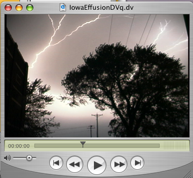
are digital cam clips of activity in Central Iowa and Kansas
City in early June 2005 2) Kansas City Hotel Shots. Wednesday June 8th, 2005 just after sunset. Compiled vid; little clips taken from various hotel windows near the KC airport on the third floor during sundown activity. The system was assimilating into the area from the south and west, and is overspreading into the north and east of the viewing area. Cloud to Ground Discharges. Images are very poor, due to shooting through external screens, and through rain coated windows & bright parking lot lights from the nearby hotels and convention center. |
||||||||||||||||||||||||||||
| ARCHIVE LEGACY FOOTAGE:
OLD Camcorder quality; DV Tape Video taken raw and edited sections complete 1)
Forest City May
29, 2000 - Rapidly assimilating activity moved into the
area from a system that extended eastward into Wisconsin. This
cell assimilation with post square O.H.M. has excellent
sound. There's little to see & lots to hear, since the
lightning is always behind the camera view angle,
or between video frames, which is only about a 30
degree width out of the 360 circle of activity
occuring. The footage is not edited. First footage is roadside
on Hwy 18 East of Forest City about 10 miles, continued in
Forest City behind the Winnebago plant. This is Pre Rain
Severe Storm Assimilation. The sound structure of the thunder
is excellent - and you can hear the formed negative channels
that the positive returns are running through within the
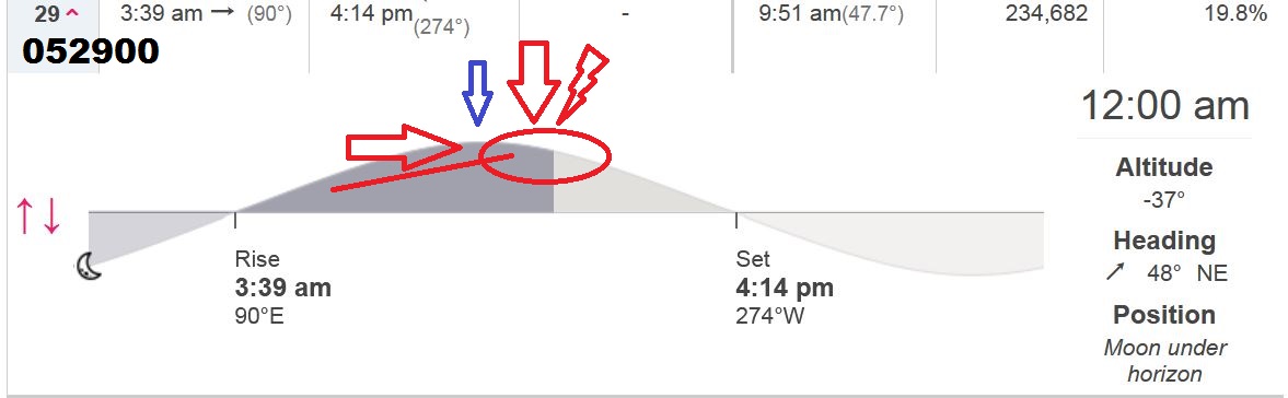
lightning. Rapid Assimilation of Post 3rd Qtr Square by Three
days during Over Head Moon passage. The front continued to
grow westward into eastern Nebraska by sundown. 2)
Severe Wind Frontal Passage
- Macon County, TN Nov. 09, 2000 |
||||||||||||||||||||||||||||
ALL DIGITAL CONTENT AND FOOTAGE IS (C) STORMCORE.INFO AND FFT2
AND CANNOT BE COPIED OR USED WITHOUT WRITTEN PERMISSION.
Global Hosting by
MacWebLab.com